Social Resource Units of the Western USA
 About This Map
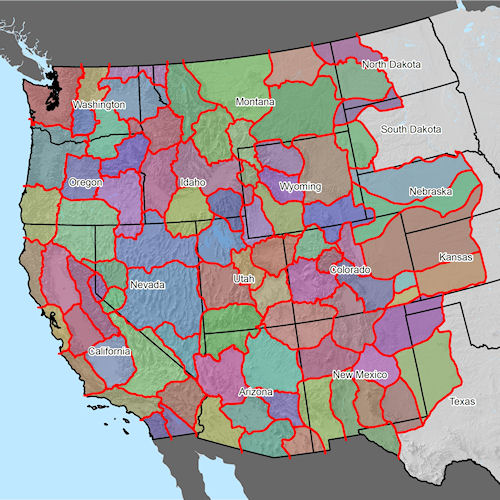
The various colored areas of this map depict Social Resource Units (SRU's) within the Western United States mapped by Natural Borders. We are in the process of updating our maps to enhance their clarity and accuracy.
For an example of a Social Resource Unit map, please see the Columbia, Oregon map.
Please send us an email if you would like to be notified when our new maps are online and available. Thank you.
Alphabetized List:
B
Bay Areas
Big Sur
Bighorn Basin
Bill Williams
Bisbee
Black Hills
Blue Mountains
Bridger
C
Cannonball
Caribou
Cibola
Clearwater
Columbia
F
Firehole
Fort Apache
Four Corners
Front Range
G
Great Basin
Great Falls
Great Salt Lake
Grulla
J
Jackson Hole
Jefferson
Joshua
K
Kofa
L
Lamar
Laramie Basin
Lewis and Clark
Lost River
Lower Pecos
M
Magic Valley
Mendocino
Mesa
Mountain Lakes
O
Owyhee
P
Panhandle
Patagonia
Payette
Plateau
Platte River Basin
Powder River
Basin
Puget Sound
Pyramid
S
Sacramento
Salt River
Salton Sea
San Diego
San Joaquin
San Rafael
Sand Hills
Sangre De Cristo
Santa Fe Trail
Sequoia
Sevier
Sierra Nevada
South Central Valley
Springfield
Summer Lake
T
Tahoe
Three Forks
Tularosa Basin
Two Rivers
U
Uintah Basin
Upper Arkansas
Upper Gila
Upper Missouri
Upper Pecos
V
Vegas
Cobalt Web Designs